Navigate your Walk to Work
By Madison De Silva
March, 2023

A crucial step in walking to work is planning your journey from home to the workplace. In this post, we will break down how to do this from scratch in order to get you from A to B successfully.
To figure out what route you will take to work, you want to have a navigation system on your phone. One way to do this is through Google Maps.
How to Use Google Maps
- Google maps can be downloaded from the Apple App Store or Google Play Store.
- Search the address of your workplace in the search bar at the top of your phone.
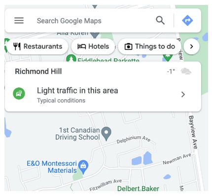
- The name of your workplace and a blue directions button should appear at the bottom of your screen. Select that option.
- You will then be presented with options on how you want to commute (by foot, by car, by bike, etc). Select the walking option.

- Then click the blue start button at the bottom of your screen.
In addition to this, you should become familiar with multi-use lanes. When walking in a multi-use lane, keep in mind that you are sharing the path with cyclists, people on scooters, skateboards and other modes of transportation. Keep to the right of the path (mimic the rules of the road you would follow if driving). Also, listen for bike bells or warning calls from oncoming commuters.
It is important you are familiar with your route before you walk alone. A great way to get familiar is to call up a friend and walk the route together before. Doing this will prevent you from being caught off guard by any challenges you may face such as crossing a busy street, construction and more.